London Gypsies and Travellers has undertaken a London-wide project to chart the history of Gypsies and Travellers in the capital. With National Lottery funding, it is mapping recorded population data, sites and tenures across every borough, and creating histories through the knowledge and voices of Travelling Showpeople, Irish Travellers and Romany Gypsies.
This has resulted in the LGT History and Heritage Maps, compiling stories, photos, videos and audio recordings. The interactive online maps, co-produced with the organisation Mapping for Change, document memories of place, lived experiences and social, economic and cultural relationships. The resource was launched in July 2019 with a major exhibition at City Hall.
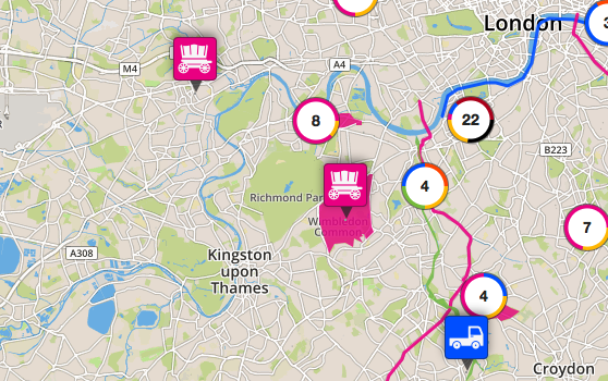
The online maps show existing and lost sites and yards, travelling routes and the web of historical connections between travelling and settled communities and the places they share and live in today.
The map is for use by the travelling communities, policy makers and the public. It is part of LGT’s Mapping the Pathway to Equality project.
Watch a short film about the project below
Read the project evaluation report produced by partners Mapping for Change in May 2020: Mapping the Histories of London’s Travellers Evaluation Report
Click on the map below to access the LGT History and Heritage Maps